
Artificial Light at Night
Artificial Light At Night
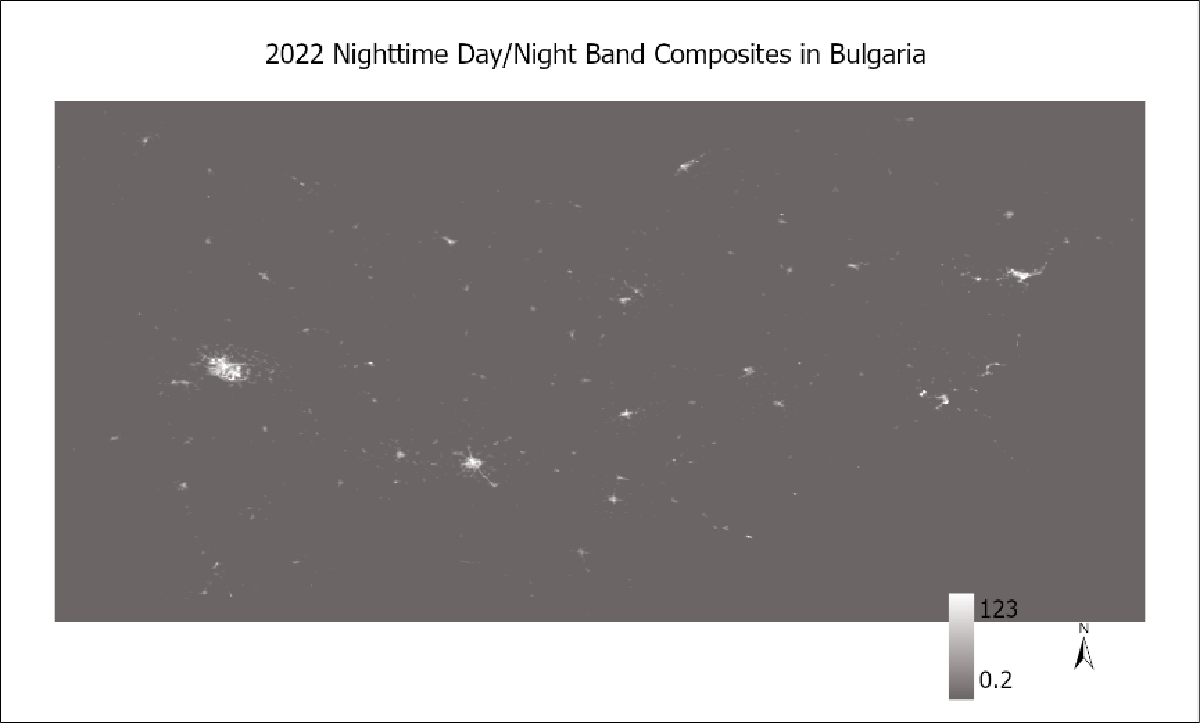
The index captures artificial light at night (ALAN). We used globally calibrated remote sensing-based outdoor measurements from the Day/Night Band on the Visible Infrared Imaging Radiometer Suite (VIIRS) obtained from the National Oceanic and Atmospheric Administration. Annual composites have been used to minimize the seasonal effects of emitted ALAN levels. No cloud mask function is used for this product due to the low resolution of the dataset. VIIRS data have a ground resolution of approximately 500 m.
Data Processing
We used globally calibrated data from the day/night band on the panchromatic Visible Infrared Imaging Radiometer Suite (VIIRS) sensor operating on the Suomi National Polar-orbiting Partnership satellite (Miller et al., 2012). VIIRS data were used at a spatial resolution of ∼464 m (Elvidge et al., 2017; Levin et al., 2020). We used the twelve-month median radiance grid (in nW/cm2/sr) corrected for stray light. The 2022 ‘VCMSLCFG’ image collection in Google Earth Engine (Gorelick et al., 2017) provided the VIIRS nightlight data via the National Oceanic and Atmospheric Administration filtered to eliminate, for example, stray light and cloud cover (Román et al., 2019).
References
Elvidge, C. D., Baugh, K., Zhizhin, M., Hsu, F. C., & Ghosh, T. (2017). VIIRS night-time lights. International journal of remote sensing, 38(21), 5860-5879.
Miller, S. D., Straka III, W., Mills, S. P., Elvidge, C. D., Lee, T. F., Solbrig, J., … & Weiss, S. C. (2013). Illuminating the capabilities of the suomi national polar-orbiting partnership (NPP) visible infrared imaging radiometer suite (VIIRS) day/night band. Remote Sensing, 5(12), 6717-6766.
Epidemiology example
- Helbich, M., Browning, M. H., & Huss, A. (2020). Outdoor light at night, air pollution and depressive symptoms: A cross-sectional study in the Netherlands. Science of the total environment, 744, 140914.